
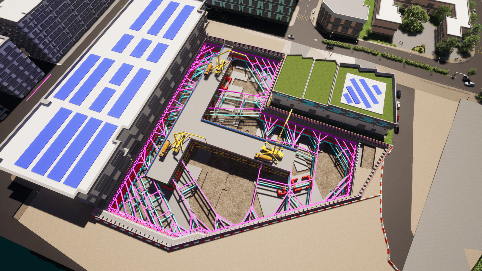
Integration of subsurface data (borehole logs, CPT results, groundwater levels) and terrain surveys into a 4D BIM environment to visualize dynamic soil behavior, excavation phasing, and geohazard risks (e.g., settlement, slope instability) across the project timeline


