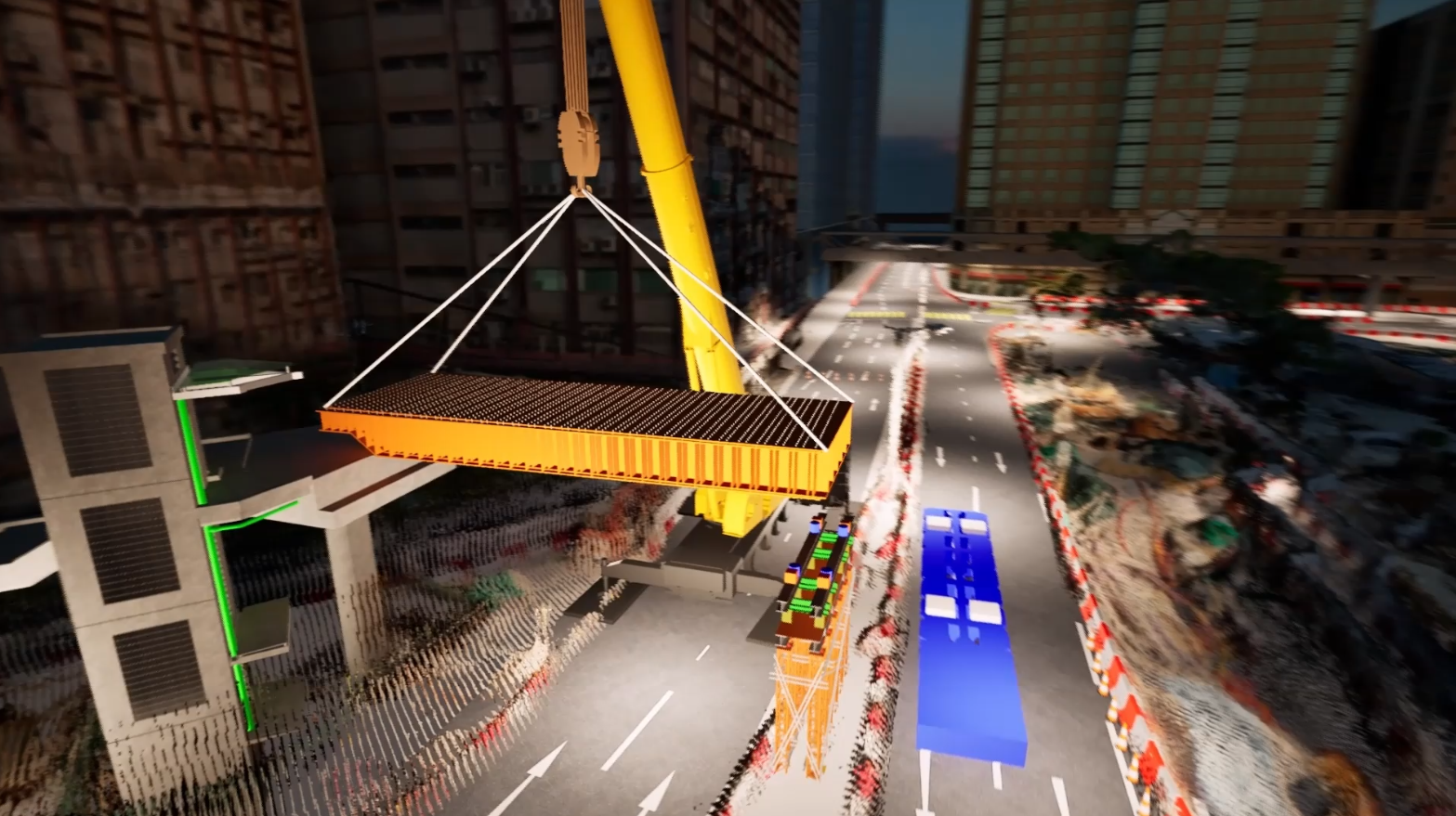
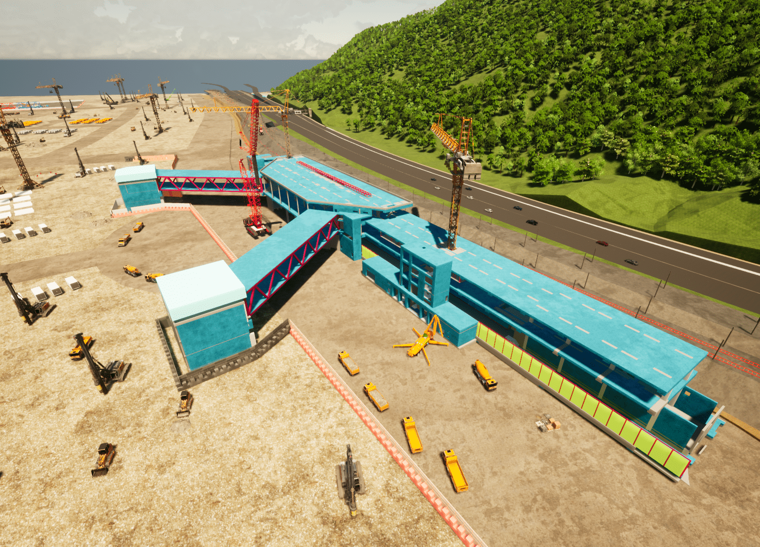
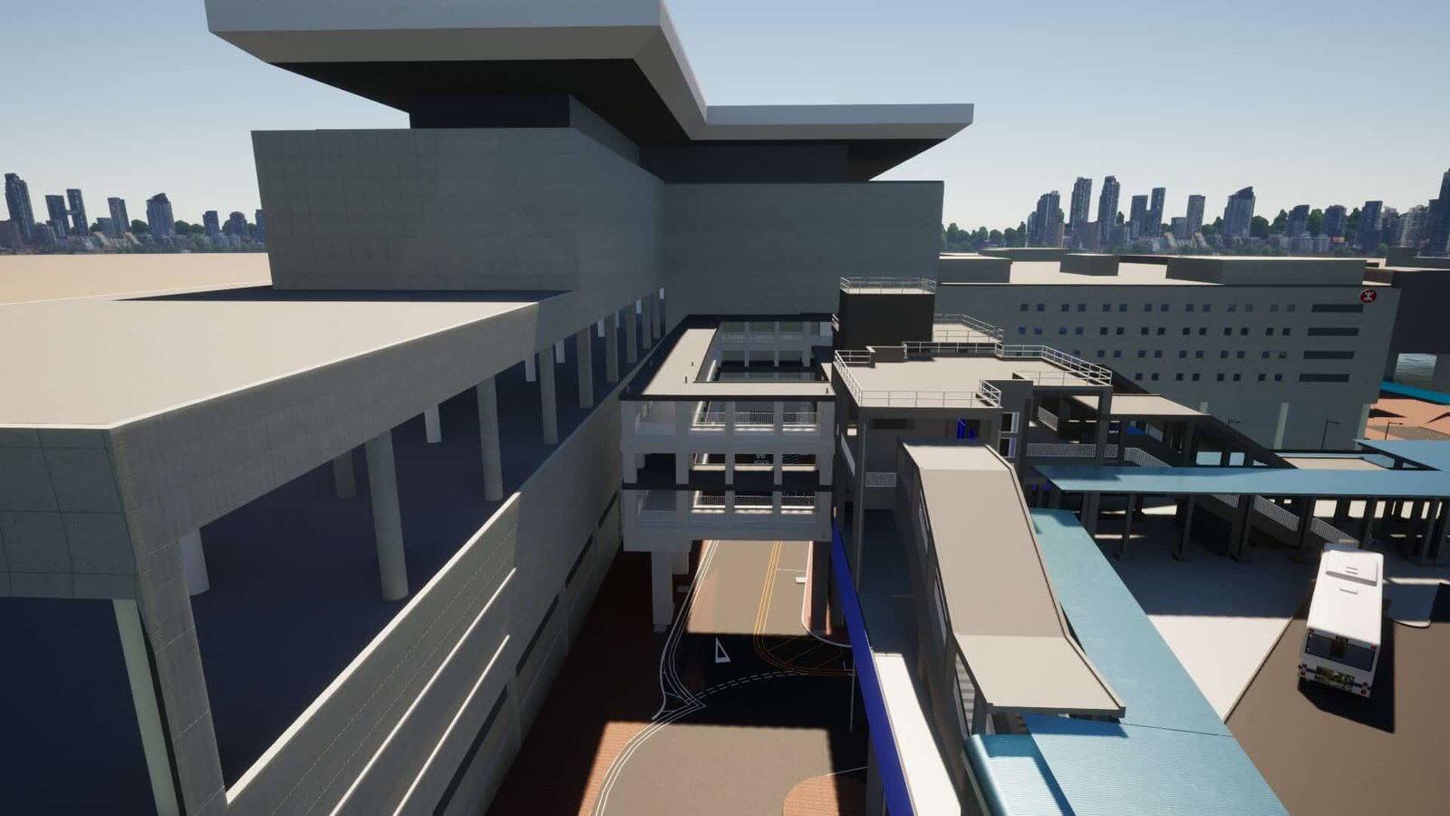
The process of filtering raw LiDAR/photogrammetry point cloud data to isolate terrain, vegetation, and structures, then converting these classified subsets into 3D meshes for site analysis, visualization, and 4D animation.


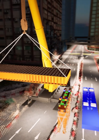
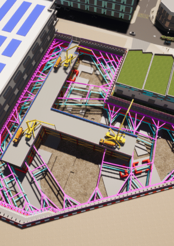
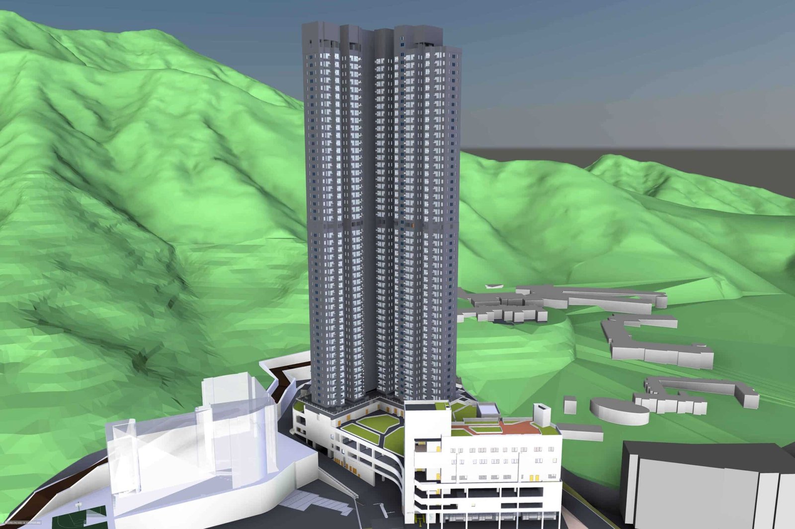
Category 1, completed projects
Category 1
Category 1
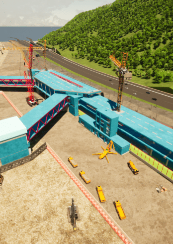
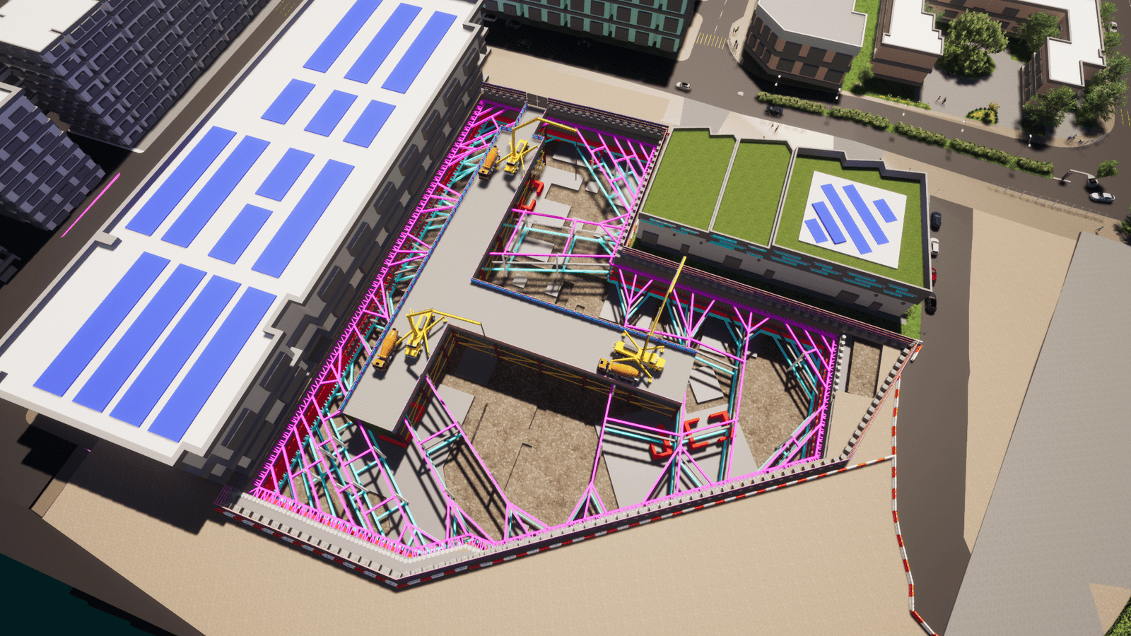
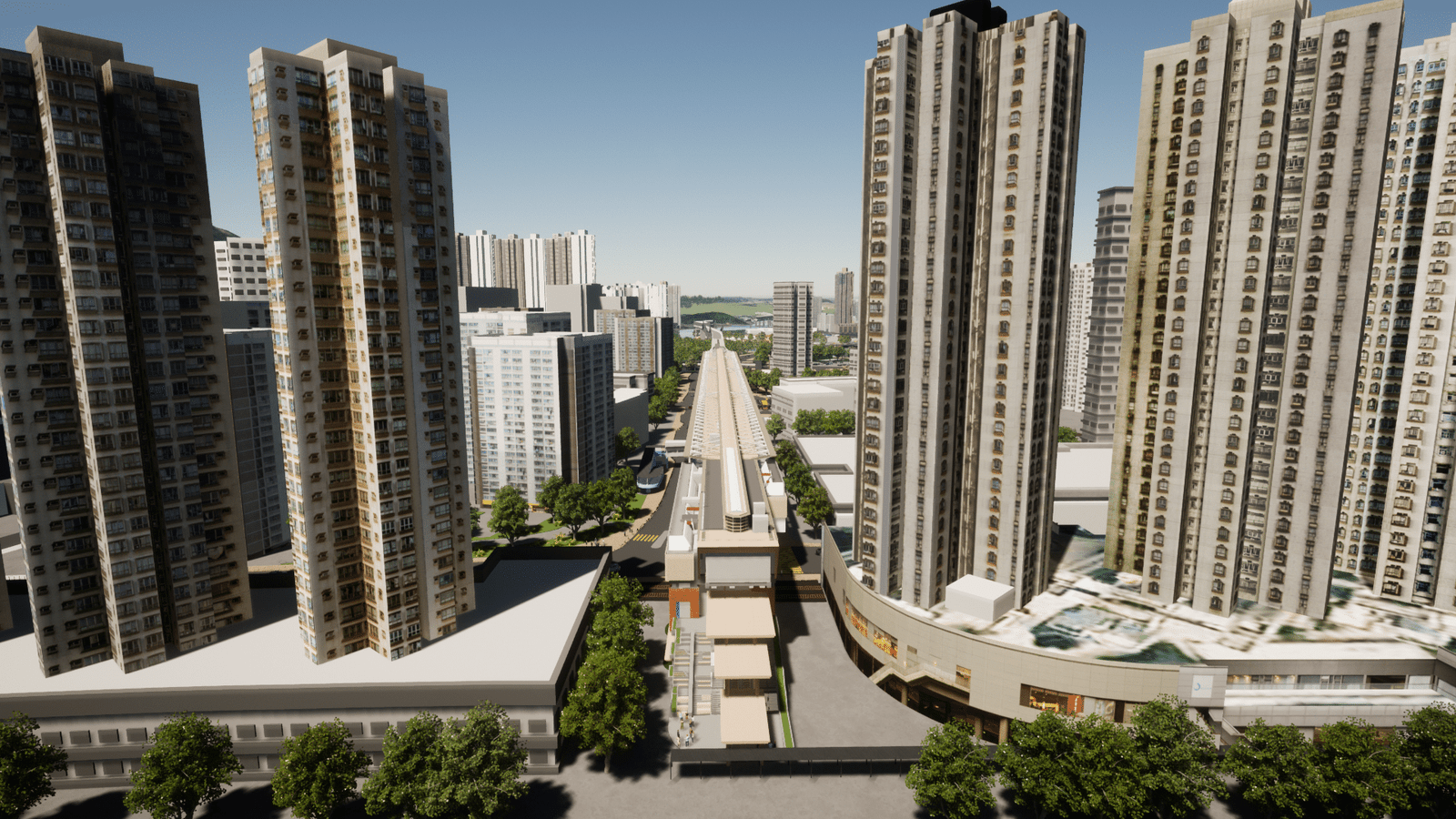
Category 2, completed projects
Category 2
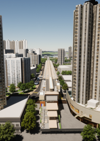
Category 2
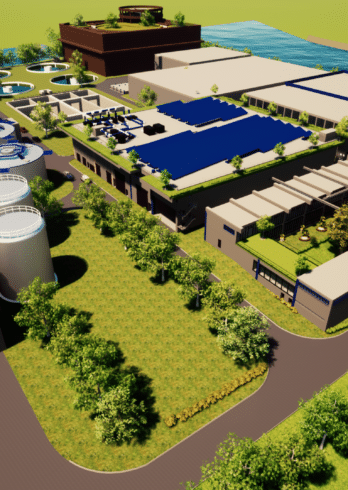
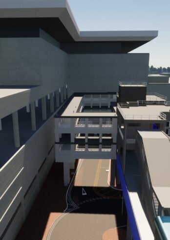
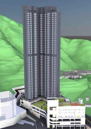
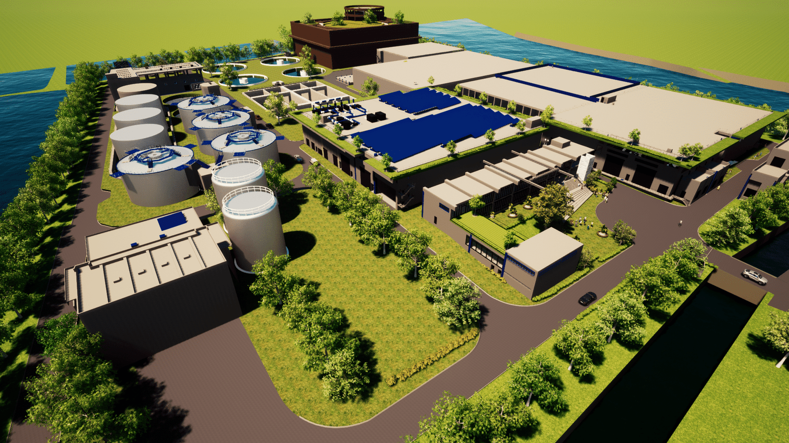
Category 3, completed projects

Category 3


Typically replies in a few minutes
I will be back soon


